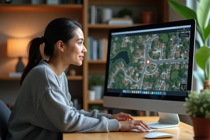
Publicly accessible satellite images come from captures made by satellites in orbit, then assembled and made available through mapping platforms. These images are not broadcast in real-time: a delay of several weeks to several months separates the capture from its publication. Understanding this delay allows you to choose the right tool based on what you are really looking for.
Why no application shows your house live via satellite
The term “live satellite view” is misleading. Civil observation satellites capture images at spaced intervals, and their processing (geometric correction, assembly, verification) takes time. Cost, bandwidth, and military restrictions prevent any instant broadcasting to the general public.
Several mobile applications exploit this confusion. They promise a live satellite view of your house, but merely display archived images from Google Maps. Some resort to automatic subscriptions that are difficult to cancel. Before downloading an unknown application, checking recent reviews and the permissions requested remains the best precaution.
For those who want to see their house via satellite with Maison Pro, the starting point is to clearly distinguish reliable tools from opportunistic applications.
Google Earth and Google Maps: concrete differences for visualizing your house
Google Earth and Google Maps use the same satellite data but present it differently. Confusing the two wastes time.
Google Maps is designed for navigation. Its satellite mode displays aerial images in 2D, sufficient for spotting a roof or checking the immediate surroundings of an address. Address searches are quick, and switching to Street View allows you to see facades at street level.
Google Earth goes further. The 3D modeling of many cities allows you to visualize the volume of a building, its surroundings, and even the shadow cast depending on the time of day. The historical image function provides access to photos taken over several years, which helps observe the evolution of a neighborhood or a plot.

- Google Maps: quick address search, 2D satellite view, immediate access to Street View for ground-level photos.
- Google Earth: 3D navigation, historical satellite images over several years, distance and area measurement.
- Google Earth Pro (desktop version): high-resolution image export, import of mapping files, spatial analysis tools.
To simply locate your house and see the roof, Google Maps is sufficient. To understand the topography, changes in vegetation, or the placement of a building in its environment, Google Earth provides an additional layer of information.
Near real-time satellite image services: what SkyFi changes
Recent platforms like SkyFi allow you to order a satellite capture of a specific area. The image is delivered within hours of capture. This operation, called “tasking,” brings the promise of seeing your property with very recent data closer to concrete reality.
SkyFi also provides access to high-resolution commercial archives, with a level of detail significantly superior to what Google Earth offers. The resolution can go down to a scale of a few tens of centimeters on the ground, compared to several meters for free satellite images.
This type of service remains paid and oriented towards specific uses: monitoring work on a plot, assessment before or after a disaster, verification of land before purchase. For simple curiosity, free tools largely cover the need.
Useful features beyond just satellite view
The satellite visualization of a house is not limited to looking at a roof from the sky. Several additional features transform this observation into a practical tool.
The image history in Google Earth allows you to compare the state of a plot over several years. Before buying land, observing old photos sometimes reveals disappeared constructions, flooded areas, or changes in roadways.
Street View, accessible from Google Maps and Google Earth, complements the aerial view with photos taken at street level. Coverage varies by area: urban centers are photographed regularly, while some rural areas have not been updated for several years.

- Image history: identify changes on a plot or in a neighborhood before making a purchase decision.
- Street View: assess the condition of a facade, the width of a street, the presence of shops or facilities nearby.
- Distance and area measurement: estimate the size of a garden, the distance between two points, or the area of a roof for a solar panel project.
- 3D view: understand the relief around a property, identify a slope or a view obstruction.
Choosing the right tool based on your actual need
The choice entirely depends on what you are looking for. Quickly locating your house to show your neighborhood to someone: Google Maps, in a few seconds. Studying the evolution of a plot or preparing a real estate project: Google Earth, with its history and measurement tools. Obtaining a recent and precise image for professional use or a dispute: a tasking service like SkyFi.
No free application provides real-time satellite views. Reliable tools display dated images, and this is sufficient for the vast majority of domestic uses. Applications that claim otherwise warrant the utmost caution, both regarding data quality and their business practices.